
A map of the world with red lines

The image features a large, detailed map of the world, with various countries and continents represented in vibrant colors. The map is filled with red lines, which seem to represent a network of interconnected lines, possibly representing transportation routes or communication networks. The map is displayed on a wall, and it appears to be a visual representation of the world's interconnectedness.
Tags
world map continents countries europe asia africa north america south america australia new zealand antarctica oceania middle east india china japan korea russia canada mexico brazil argentina chile peru bolivia ecuador colombia venezuela panama costa rica nicaragua honduras guatemala el salvador belize haiti jamaica puerto rico dominican republic cuba bahamas turks and caicos bermuda iceland greenland norway sweden finland denmark germany austria switzerland italy france spain portugal greece turkey cyprus romania bulgaria serbia croatia bosnia herzegovina montenegro kosovo macedonia albania ukraine belarus kazakhstan uzbekistan tajikistan kyrgyzstan turkmenistan mongolia taiwan hong kong macao philippines indonesia malaysia singapore thailand vietnam cambodia laos myanmar bangladesh nepal bhutan pakistan afghanistan iran iraq syria jordan lebanon palestine israel egypt sudan ethiopia kenya tanzania uganda rwanda burundi zimbabwe south africa namibia botswana swaziland lesotho eswatini mozambique madagascar mauritius seychelles reunion comoros mayotte frenchSimilar Photos
A picturesque village with thatched roofs and flowers

A woman in a pink dress stands in front of a purple sky with stars

Two mermaids swimming in the ocean

A colorful, glowing, abstract art piece

Colorful Crystal Glasses on a Table

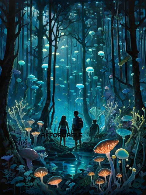
A family of three walking through a forest of mushrooms
Diver in a forest of plants and sea creatures

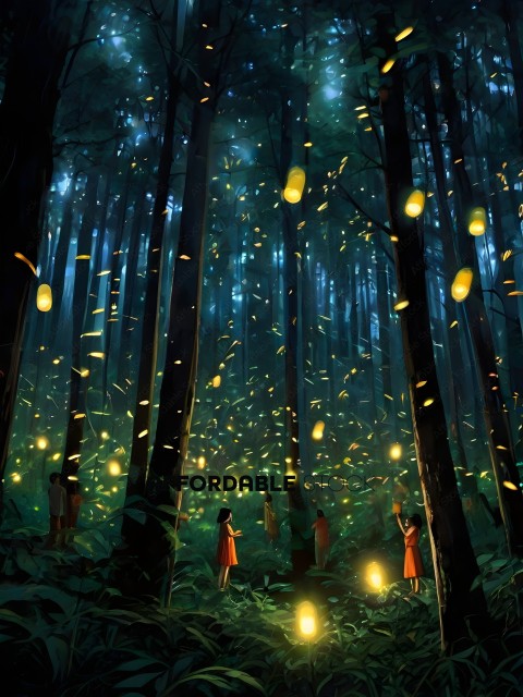
A group of people in a forest with a lot of light
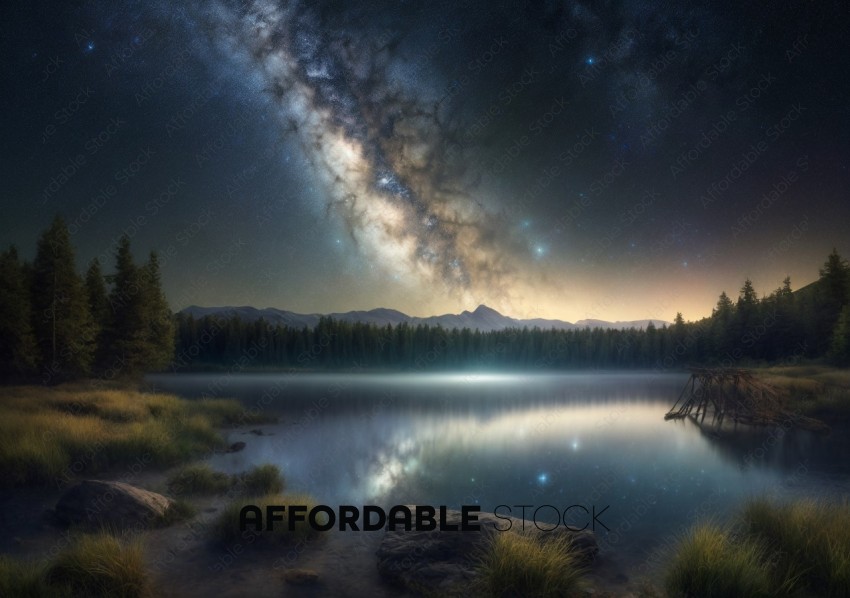
Starry Night Sky Over Serene Mountain Lake
A yellow seaweed-like object sits on a rock

- Details
- Photo #126036
- Published on Mar 17, 2024
- Photo type JPG
- Resolution 4096x4096
- Category Nature / Landscape...
- File size 2.5MB