
A map of a city with red dots
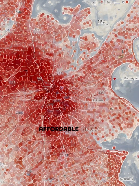
The image features a large, red map of a city, likely a satellite view, with a focus on a specific area. The map is covered in a multitude of red dots, which appear to be buildings or landmarks. The dots are scattered across the entire map, with some appearing closer to the foreground and others further away. The red dots create a vibrant and lively atmosphere, suggesting a bustling urban environment.
Tags
city map water land buildings street road highway bridge river island shore ocean harbor dock waterway riverfront shipyard industrial urban transportation infrastructure landscape geographical cartography topographical cartographicSimilar Photos
A fantasy world with a castle and floating islands

A group of people on a beach with a mountain in the background

A bird flying over a forest with autumn leaves

Footprints in the sand at the beach

Two boys walking through a muddy field

A school of yellow fish swimming in the ocean

A large bison drinking water from a river

A hand print is on the window

A close up of a zebra fish swimming in the ocean

A forest with rain falling on it

- Details
- Photo #152141
- Published on Apr 18, 2024
- Photo type JPG
- Resolution 3072x4096
- Category Nature / Landscape...
- File size 3.4MB