
Map of the world with red lines and orange squares
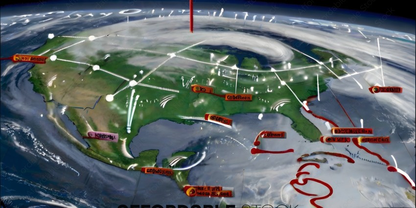
The image features a large, detailed map of the world, with various countries and land masses clearly marked. The map is filled with a multitude of red lines, which seem to represent energy lines or power lines. These lines are scattered across the globe, connecting different regions and countries. In addition to the lines, there are several small figures of people, likely representing individuals who are responsible for maintaining and managing these energy lines. These figures are dispersed throughout the map, with some closer to the lines and others further away. The overall scene conveys a sense of organization and coordination, as the lines and figures work together to ensure the smooth flow of energy across the globe.
Tags
energy wind power electricity renewable energy source wind turbine power plant electricity grid energy infrastructure energy industry energy market energy policy energy conservation energy efficiency energy sustainability energy transition energy future energy solutions energy innovation energy technology energy research energy development energy economy energy environmentSimilar Photos


- Details
- Photo #154604
- Published on Apr 20, 2024
- Photo type JPG
- Resolution 4096x2048
- Category Nature / Landscape...
- File size 1.7MB